Soil analysis & management
Georeferenced sampling, agronomic interpretation and fertilisation plans: the soil as the basis of every cropping decision.
Request a sampling →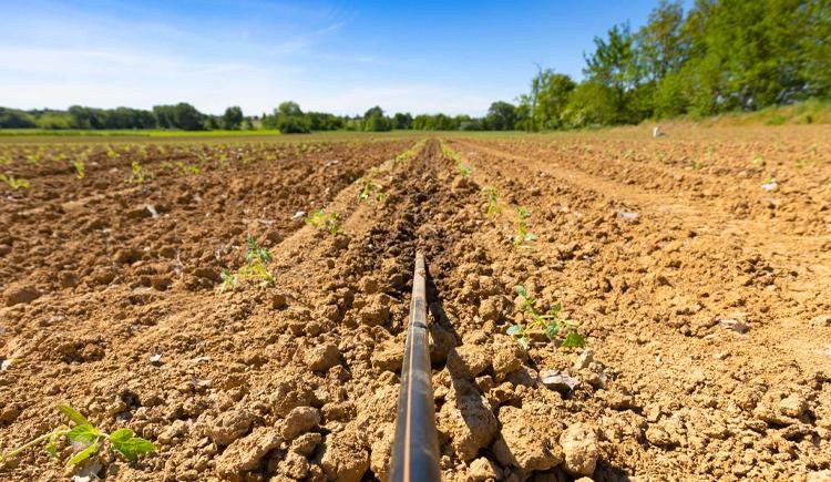
What it is
The service covers the whole path: sampling plan, georeferenced collection, laboratory analysis and — the part that makes the difference — the agronomic interpretation of the reports, turned into a fertilisation plan per crop.
In nitrate vulnerable zones (Directive 91/676/EEC) the analyses support compliance and the correct use of livestock effluents.
When it is needed
- Before new plantings: orchards, vineyards, perennial crops.
- Periodically: as good practice every 4–5 years on the same plot.
- Yield problems, waterlogging, suspected deficiencies or excesses.
- Fertilisation plans and effluent management in vulnerable zones.
- Fertility maps for variable-rate fertilisation.
How I work
Sampling by homogeneous zones (also identified from satellite maps), laboratory analysis, interpretation of the parameters — texture, pH, organic matter, macro and micronutrients — and an operational plan per crop.
What you get
Reports read and explained, rates and products per plot, and a georeferenced database that stays with the farm.
Sampling well matters as much as analysing: the right points, depths and timing.
Want to know what your soil really says?
Tell me crops and areas: I'll propose the sampling plan and an indication of the fee.
Request a site visit →