Agronomic component of the PGT
The analysis of the agricultural and environmental system of the municipal territory in support of the local urban plan (PGT) and of planning instruments, for municipalities and planning professionals.
Let's talk →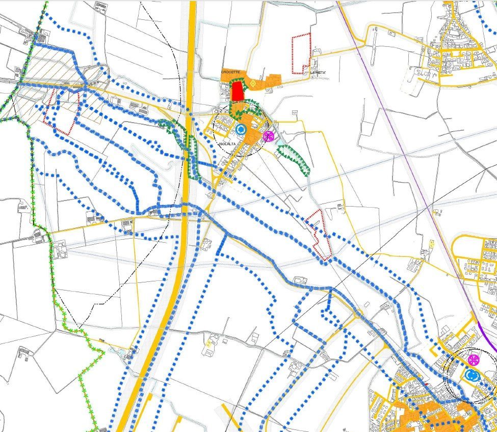
What it is
The agronomic component is the part of the territorial study that describes and classifies the rural system: land use, agro-forestry value, agricultural areas, the hydrographic network and environmental aspects. It is a necessary building block of the local urban plan (PGT) and of its variants.
In Lombardy the reference is Regional Law 12/2005, as amended, and the related regional implementing criteria.
When it is needed
- Drafting or variant of the PGT (Plan Document, Rules Plan, Services Plan).
- Classification of the agro-forestry value of soils and identification of agricultural areas.
- Agronomic support to environmental assessments and planning procedures.
- Technical opinions for municipal technical offices and planning practices.
How I work
Cartographic and GIS analysis of the territory, targeted surveys and verification of the applicable rules. The work integrates with the other components of the plan and with the urban-planning design team.
What you get
The technical and cartographic deliverables of the agronomic component, ready to be included in the plan's documents: reports, thematic maps and classifications, consistent with regional regulations.
Clear, georeferenced and verifiable documents, built on measured data rather than generic evaluations.
Are you drafting or updating a PGT?
Tell me about the context and the timeline: I'll reply with how the work would be set up and an indication of the fee.
Request a discussion →