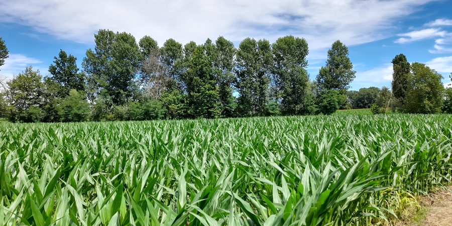
Rows of young plants in open field

Agronomic consulting, urban green and appraisals for farms, public bodies and private clients.

Studio Invé, Dr. Fabio Inverardi, agronomist. Based in Dello (Brescia), working across Italy and Europe.

Services

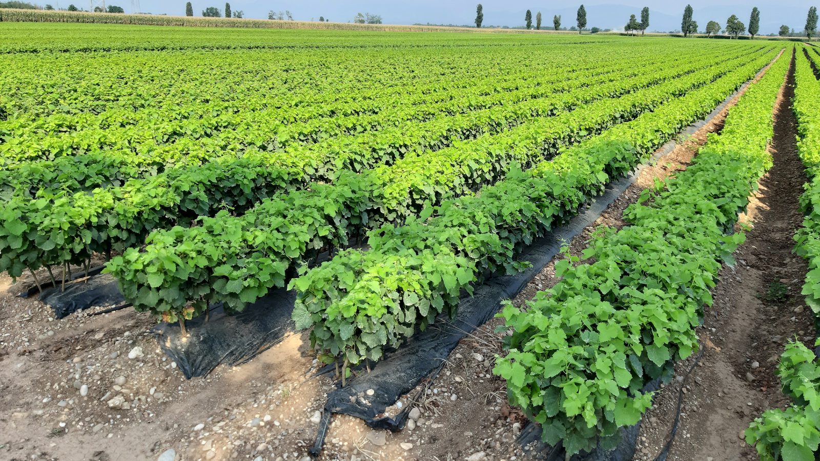
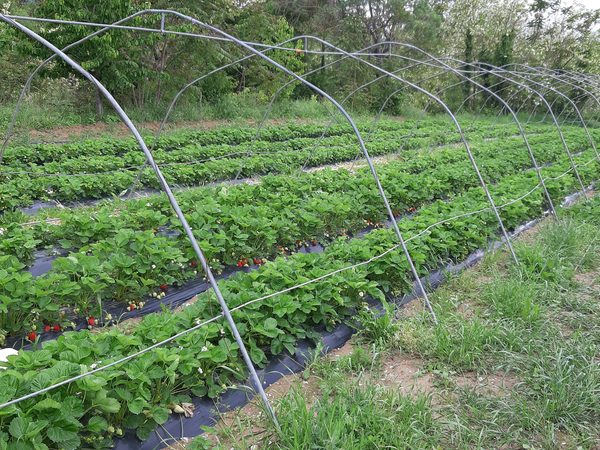
Rows of young plants on mulch film

Agriculture & soil

Agronomic consulting for the farm, from planning to paperwork.
  • Agronomic consulting
  • RDP / CSR & funding
  • Soil analysis
  • Satellite analysis
  • Techno-economic feasibility
  • Appraisals & surveys
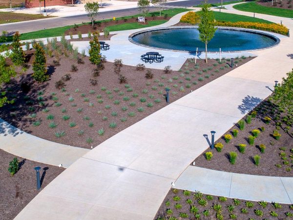
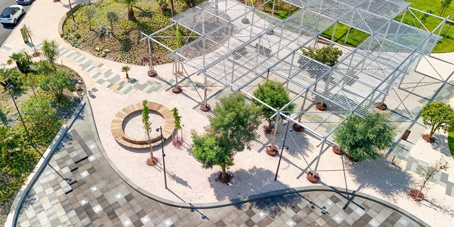
Newly built public park seen from a drone

Parks & gardens

Green design and care, with compliant stability checks.
  • Green-area design
  • Tree stability (VTA, tomography)
  • Plant-disease diagnosis & integrated control
  • Irrigation systems
  • Works supervision
  • Maintenance plans
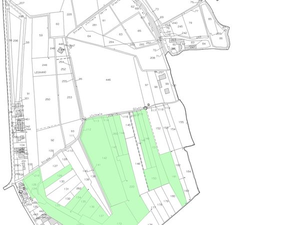
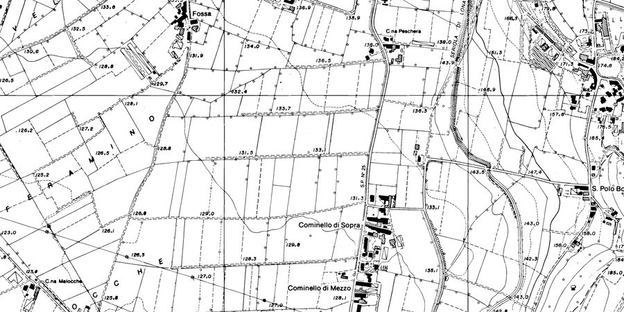
Cadastral map extract of the plain

Land

Green works, inventories and assessments for public bodies and private clients.
  • Soil bioengineering & agri-hydraulic works
  • Green inventory
  • Works supervision & testing
  • Urban-planning instruments (PGT)
  • Historical land-use analysis
  • Environmental-asset appraisals
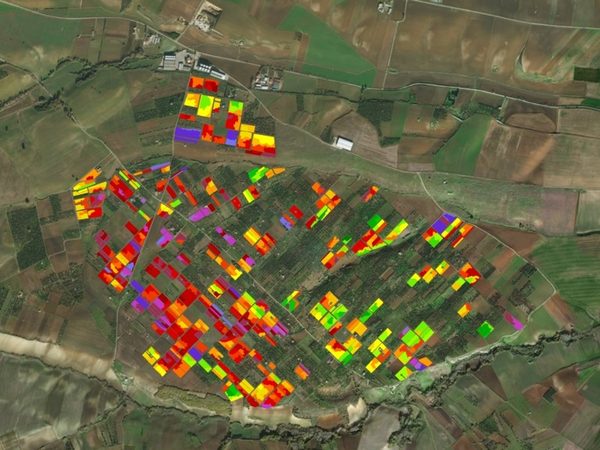
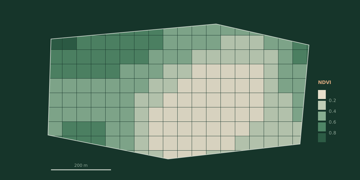
Schematic NDVI vigour map

Applied research

Spatial and quantitative analysis to support decisions.
  • Pre-feasibility studies
  • GIS spatial analysis
  • Data analysis & statistics
  • Empirical models & algorithms
  • Cost-benefit analysis
  • Scientific support

Recent work

Some commissions from the last few years, with client and outcome.
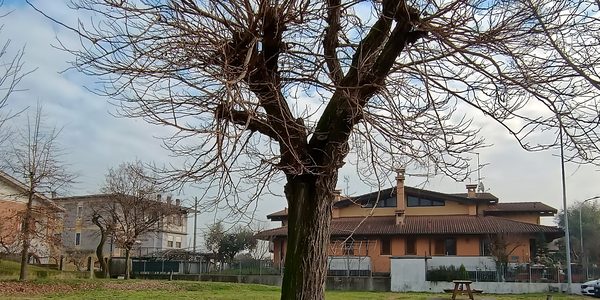
Pollarded tree in a municipal green area

Mass assessment of 868 municipal trees

Municipality of Dello (BS) · 2026

Details
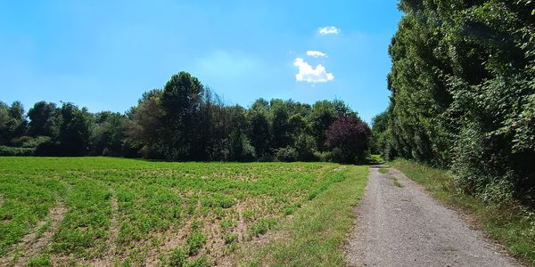
Gravel road between a field and the riparian wood of the Mella

Works supervision along the Mella river

Municipality of Capriano del Colle (BS) · 2024–2025

Details
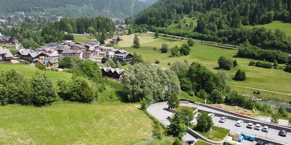
Meadows and the village of Temù from above

Green spaces for a new residential area in the upper valley

Private client, Temù (BS) · 2026

Details
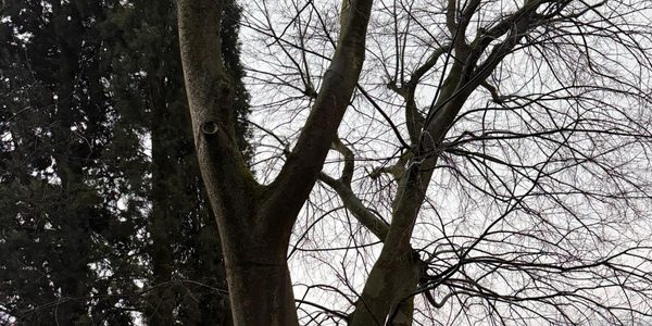
Large trees next to the church of Paitone

Two hackberries to be felled in a protected area

Parish of Santa Giulia, Paitone (BS) · 2026

Details
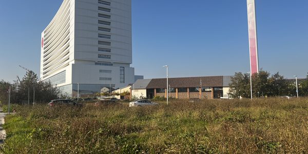
MIND Park area with the Milan towers in the background

Landscape and agronomic design of the MIND Park

Engineering company, Milan · 2025

Details
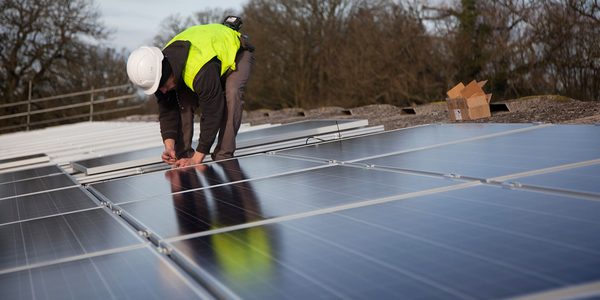
Photovoltaic panels being installed on a farm building roof

Rooftop photovoltaics on a farm with PNRR funds

Farm, Imola (BO) · 2026

Details

All work

How I work

A clear path, from first contact to the solution.

01

Consultation

A first discussion to understand the need, the goal and the timeline.

02

Site visit

On-site survey: measurements, observations and collection of the useful data and documents.

03

Analysis

Technical processing of the data, including with GIS tools, and verification of the applicable rules.

04

Outcome

The right deliverable for the goal: report, survey, design, opinion or bill of quantities, always clear, operational and verifiable.
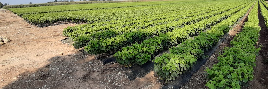
Field rows during a site visit

Areas of work

The main areas in which the Studio works for businesses, public bodies and private clients.
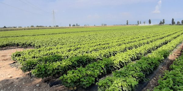
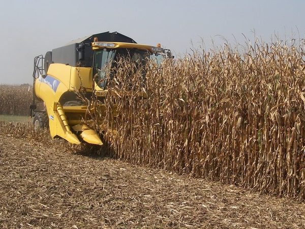
Crop rows in open field

Farm agronomic consulting

Crop management, production and sustainability for the farm.

Learn more
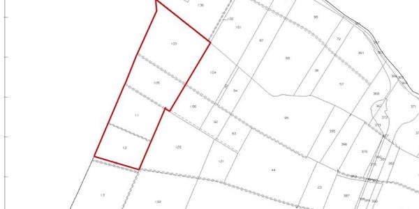
Cadastral plan with a highlighted parcel

RDP / CSR, grants & funding

Aid applications, paperwork and reporting (2023-2027 programming).

Learn more
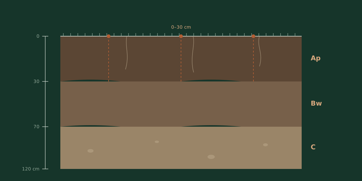
Soil profile diagram with horizons

Soil analysis & management

Sampling, interpretation and fertilisation plans.

Learn more
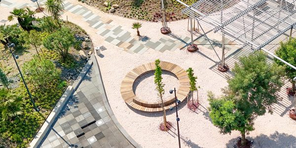
Urban park with pergola and trees, aerial view

Urban green & parks

Design, redevelopment and management of green areas.

Learn more
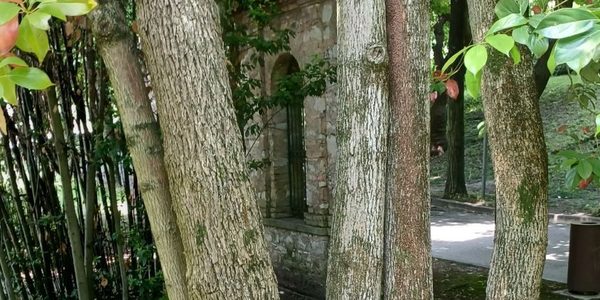
Tree trunks in a woodland setting

Tree stability (VTA)

Visual and instrumental (tomography) stability assessment.

Learn more
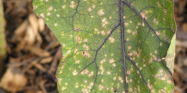
Leaf with Cercospora leaf spots

Plant-disease diagnosis & control

Identification of diseases and integrated or organic control plans.

Learn more
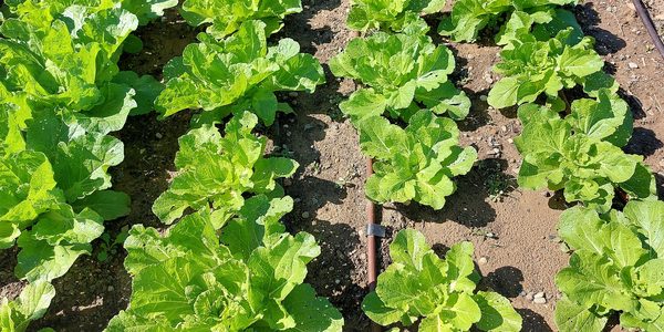
Drip line between crop rows

Irrigation systems

Sizing and design of efficient systems.

Learn more
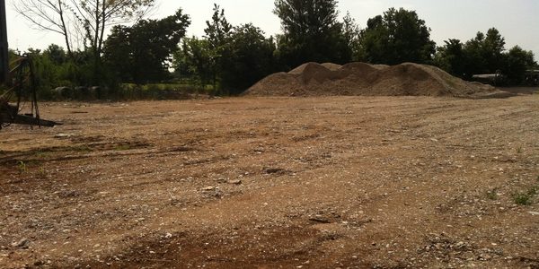
Landscape works site with earthmoving

Works supervision & testing

Site control and proper execution of green works.

Learn more
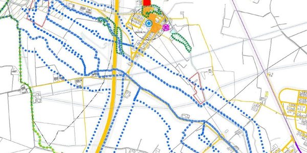
Thematic land-planning map (PGT)

Urban planning (PGT)

Agronomic component of the PGT and of planning instruments.

Learn more
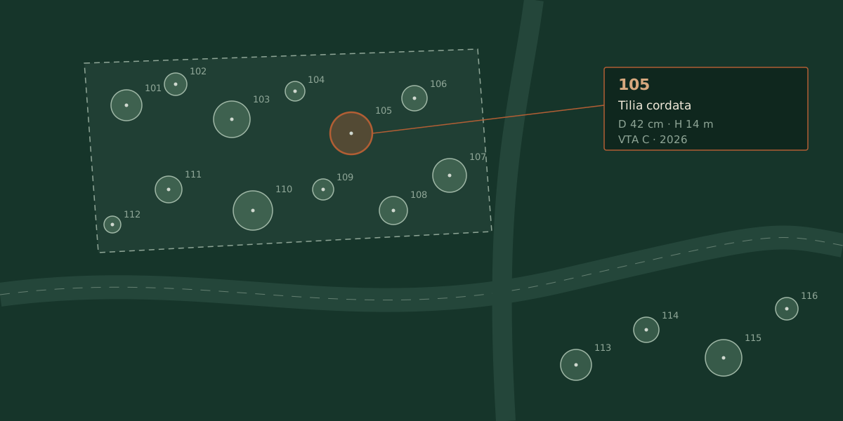
Tree inventory diagram on a map

Green inventory (GIS)

Tree register and geographic databases.

Learn more
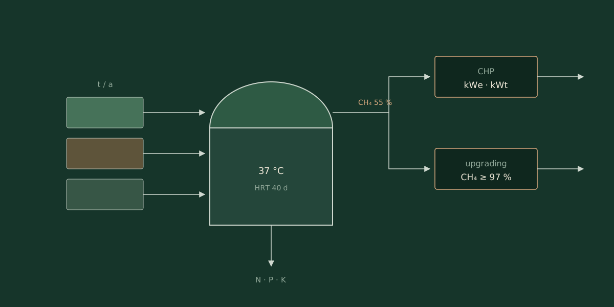
Agricultural biogas chain diagram

Agro-energy feasibility studies

Biogas and biomethane: techno-economic and supply-chain analysis.

Learn more
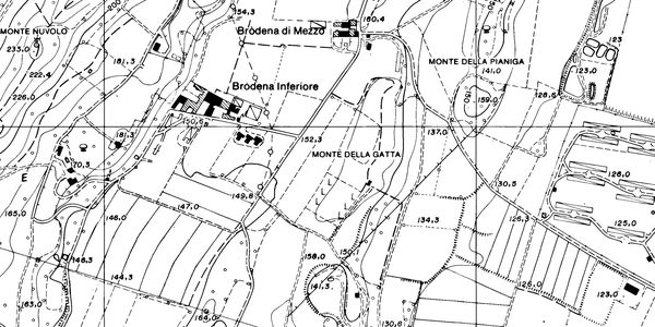
Cadastral map extract

Appraisals & valuation surveys

Value of farmland, crops and environmental assets.

Learn more

The practice

Dr. Agr. Fabio Inverardi

Fabio Inverardi is an agronomist, registered with the Order of Agronomists of Brescia (no. 474). He practises with EPAP enrolment, professional liability insurance and in compliance with Italian Presidential Decree 137/2012.

Studio Invé supports farms, public bodies, professionals and private clients in agronomy, urban green, valuation surveys and land analysis.

Studio Invé was founded in 2016 with a clear idea: to put agronomy back at the centre. In a field where improvisation too often prevails, every job starts from a survey, from measured data and from rigorous analysis, never from off-the-shelf solutions.

There are no cheap or expensive solutions, only effective ones: tailored, sustainable and resilient to climate change, built on the real needs of businesses, public bodies, farmers and citizens.
Register
no. 474 · Order of Brescia
Office
Via G. Mazzini 36, 25020 Dello (BS), Italy
VAT
03840830982
Area
Italy and Europe

Frequently asked questions

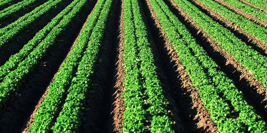
Lettuce rows in open field

Agriculture

How much does agronomic consulting cost?
It depends on the type of work, the site visits and the analyses required: the quote is always tailored, after an initial discussion. As a rough guide, in Italy hourly consulting fees often range between about €50 and €150 per hour, while a survey or a project are priced as a whole.
When is it worth hiring an agronomist?
Above all before important decisions: new plantings or crop changes, applying for grants and funding, yield or soil problems, buying or appraising land. An upfront analysis avoids costly mistakes and guides investments.
Do you help with CAP applications, RDP/CSR grants and first-time setup?
Yes. I handle the farm file, the eligibility checks and the drafting of the technical reports and business plans supporting the applications, including the measures for young farmers (first-time setup), as well as keeping the registers.
How often should soil analyses be repeated?
As good practice every 4–5 years on the same plot, and always before a new planting or a major investment. In nitrate vulnerable zones the analyses support the fertilisation plan required by the rules. Sampling well matters as much as analysing: the right georeferenced points, depths and timing.
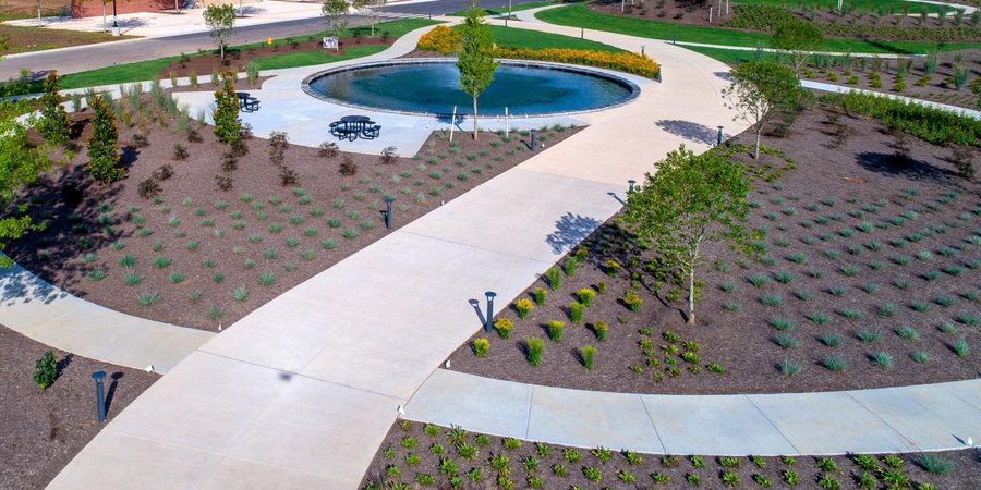
Public park with pond, aerial view

Parks & gardens

Can I fell a tree in my garden, or do I need a permit?
Often you need an authorisation or a notice to the Municipality: almost every Municipality has a Green Regulation governing felling, especially for trees above a certain girth. In areas under landscape protection a landscape authorisation is also required, and unauthorised felling exposes you to penalties. I prepare the application and any supporting survey.
Who can carry out a tree stability survey (VTA), and when is it advisable?
A stability survey (VTA) is drawn up by an agronomist or forester registered with the professional board. It is advisable, and sometimes required by regulations or insurers, for trees in frequented areas, after intense weather events or in the event of a dispute.
A tree looks unsafe: what should I do?
Have it assessed with a site visit and, if necessary, a VTA: the failure-propensity class is estimated and the interventions are indicated (pruning, bracing or felling). The owner bears a duty of care, so it is best not to delay.
How far from the boundary can I plant trees and hedges?
Unless local regulations or customs provide otherwise, the Italian Civil Code (Art. 892) sets 3 metres for tall trees, 1.5 metres for smaller trees and half a metre for hedges, shrubs and fruit trees up to 2.5 m tall. I check case by case, including distances from roads and utilities.
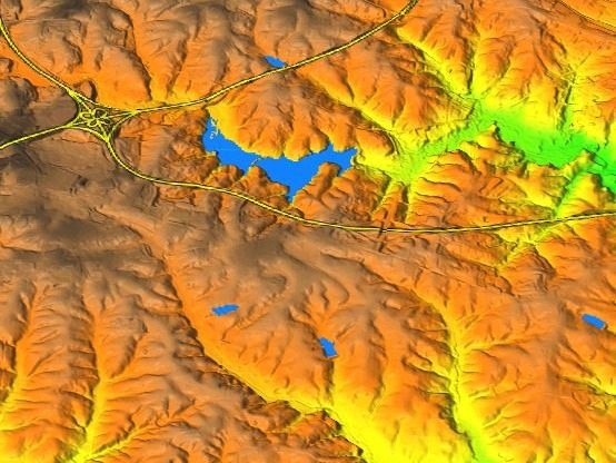
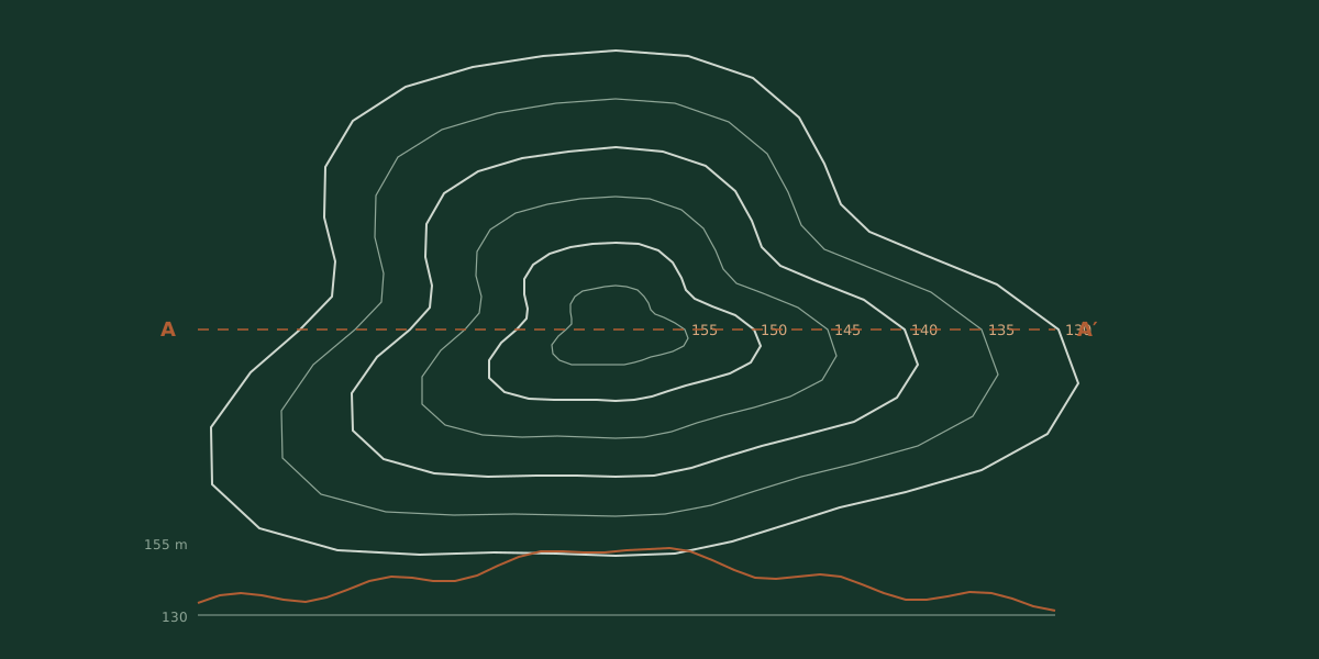
Contour lines and terrain section diagram

Land

When is a landscape authorisation needed, and how long does it take?
It is required for works in areas under landscape protection (Legislative Decree 42/2004). The simplified procedure, for minor works, normally closes within about 60 days; the ordinary one can take up to 105. I draft the landscape report and follow the application.
Do I need an authorisation to fell or manage a wood?
Yes: depending on the Region and the area involved, a notice or an authorisation is required, often with a felling plan signed by a qualified professional (agronomist or forester). Thresholds and procedures vary from area to area.
In a condominium, who is responsible for the trees and who pays?
For trees in the common areas, the condominium is liable as custodian (Article 2051 of the Italian Civil Code), with costs shared by thousandths; for those in exclusive ownership, the individual owner is liable. To manage the risk, a stability survey by a qualified professional is needed.
What are the municipal tree balance and the "tree for every newborn"?
Italian Law 10/2013 requires municipalities with more than 15,000 inhabitants to plant a tree for every newborn or adopted child, and the mayor to publish the municipal tree balance two months before the end of the term. A GIS-based green inventory is what makes these obligations manageable.
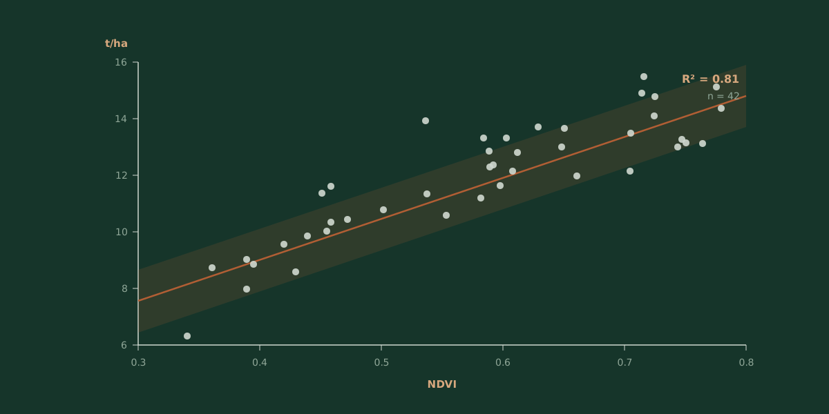
Data chart with regression line

Applied research

What can a GIS analysis do for my business?
It turns territorial data into decisions: thematic maps, suitability analysis of an area (for a crop, a plant, an intervention) and knowledge frameworks for projects and applications. It combines soil, climate, slope and constraints on a cartographic basis.
Can I use satellite or drone imagery to monitor my crops?
Yes. From multispectral imagery, vigour indices such as NDVI and NDRE are calculated, showing the condition of the crop and the variability within the field. From these, prescription maps are produced for variable-rate fertilisation and to optimise water and inputs.
Can the environmental value or ecosystem services of an area be quantified?
Yes: carbon sequestration, water regulation, urban-heat-island mitigation and value for biodiversity can be estimated with recognised methods. These data are useful for grants, environmental offsets and sustainability reporting.
Do I need a licence to fly a drone on my farm?
In most cases yes: for drones of 250 g and above you need operator registration on the d-flight portal, the online A1/A3 certificate and liability insurance; in farmland you typically fly in subcategory A3, away from uninvolved people. Alternatively, I carry out the survey with compliant equipment and credentials.

Contact

Describe your need: I'll reply within 24 hours with the first steps and an indication of the fee.

Your request goes straight to info@studioinve.com. I reply within 24 h. * Required fields

Contact
Dr. Fabio Inverardi
Email
info@studioinve.com
Certified email (PEC)
fabioinverardi@pec.it
Phone
+39 334 866 3199
Office
Via Giuseppe Mazzini 36
25020 Dello (BS), Italy
VAT
03840830982
Area of work
Italy and Europe: Italy, France, Spain, Portugal, Germany, Belgium, Netherlands, Switzerland, Czech Republic, Slovenia, Croatia, Greece, Cyprus.