
Urban green inventory
A register of trees and green areas in a geographic database: to know what you manage, plan maintenance and keep your green assets safe.
Request information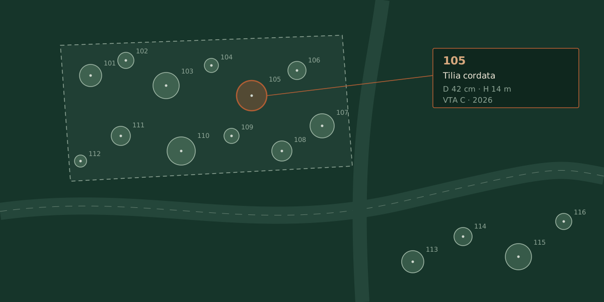
What it is
The green inventory is the systematic survey of trees, shrubs and green areas, each recorded individually and organised in a geographic (GIS) database. Every specimen is located and described: species, size, health status, any critical issues.
The result is an updatable, queryable green register, the starting point for every management decision.
What it is for
- Knowing and quantifying the green assets of a municipality or a private area.
- Planning maintenance, pruning and replacements with criteria and priorities.
- Managing safety, by integrating the inventory with stability assessments (VTA).
- Supporting green regulations, tree balances and reporting.
How I work
On-site survey with GPS positioning, a technical record for each specimen and construction of the GIS database. The data remain yours, in a standard, reusable format.
What you get
A georeferenced green register, thematic mapping and a clear picture on which to plan works and investments and, where needed, the stability surveys.
Measured, georeferenced data, ready for operational management: no eyeballed estimates.
Want to map your green assets?
Tell me the extent and the goal: I'll reply with the approach and an indication of the fee.
Request a site visit