 01
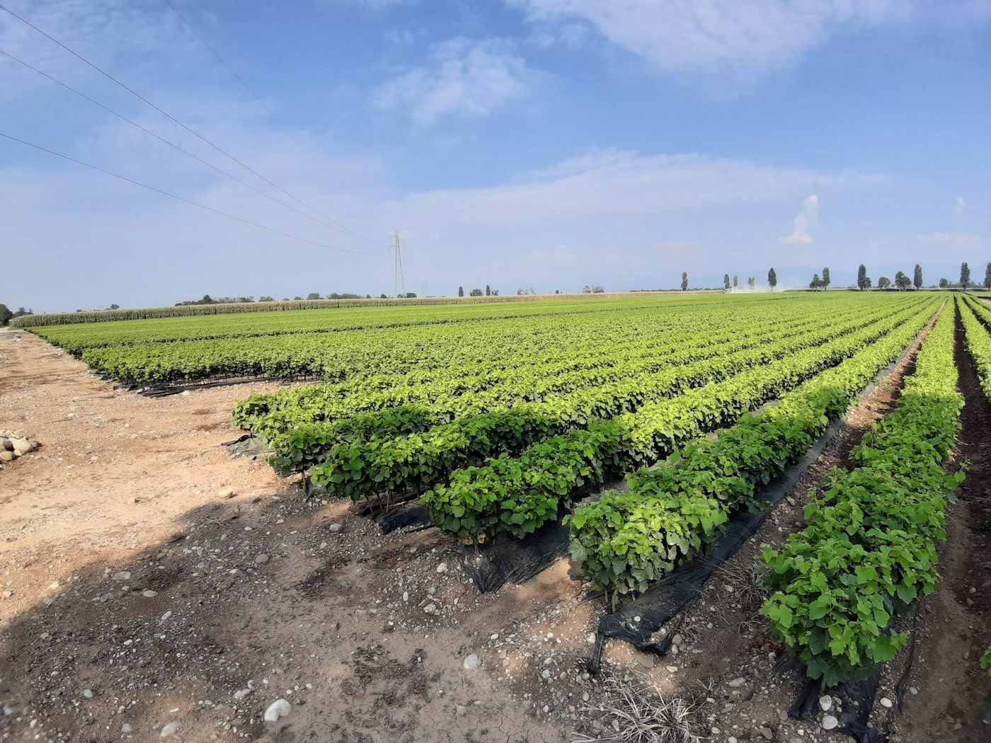
01Agriculture & soil
Agronomic consulting for the farm, from planning to paperwork.
- Agronomic consulting
- RDP / CSR & funding
- Soil analysis
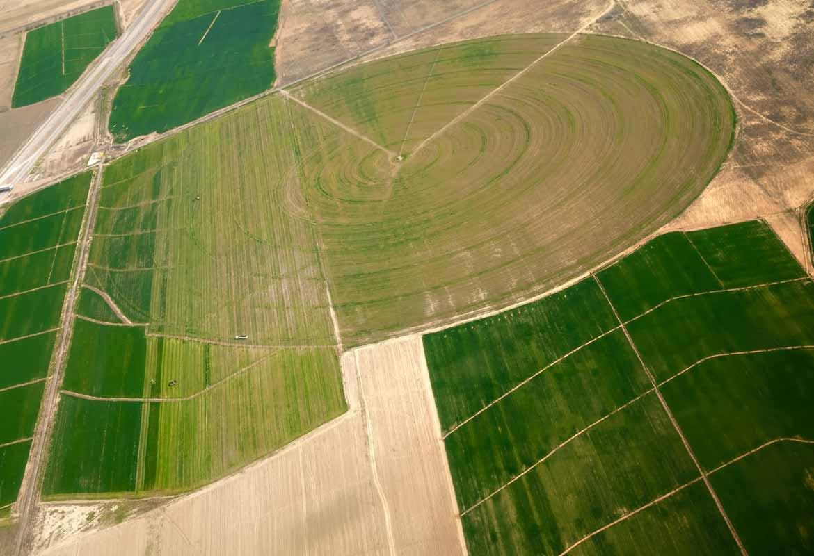
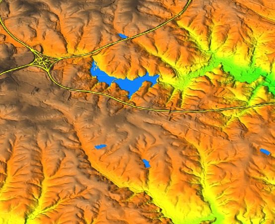
- Satellite analysis
- Techno-economic feasibility
- Appraisals & surveys
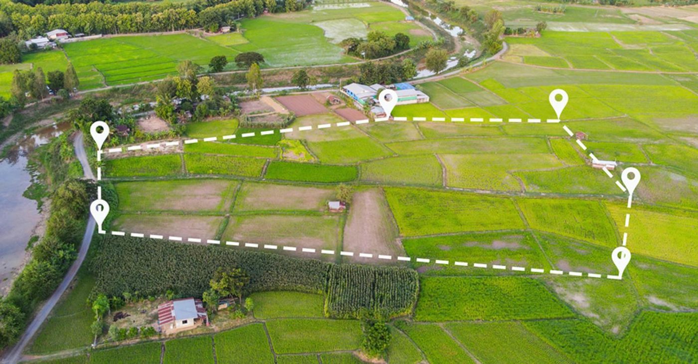
Technical consulting, surveys and land analysis for farms, public bodies and private clients. Across Italy and Europe.
 01
01Agronomic consulting for the farm, from planning to paperwork.
 02
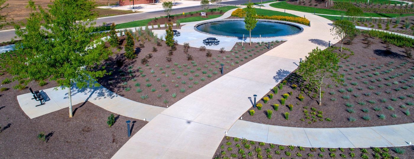
02Green design and care, with compliant stability checks.
 03
03Green works, inventories and assessments for public bodies and private clients.
 04
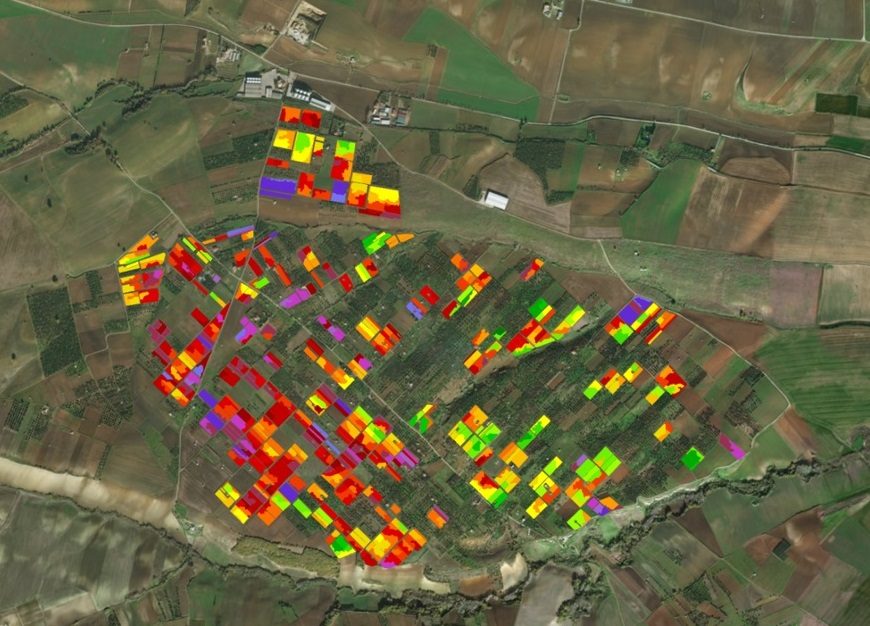
04Spatial and quantitative analysis to support decisions.
A clear path, from first contact to the solution.
A first discussion to understand the need, the goal and the timeline.
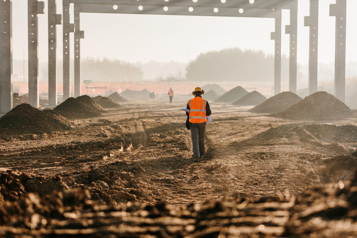
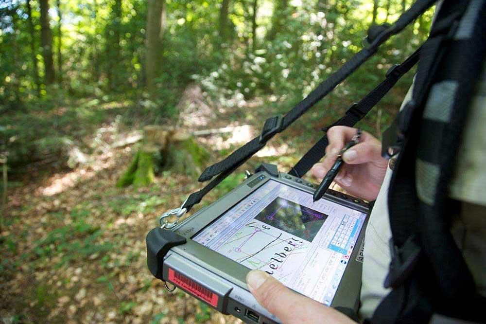
On-site survey: measurements, observations and collection of the useful data and documents.
Technical processing of the data, including with GIS tools, and verification of the applicable rules.
The right deliverable for the goal: report, survey, design, opinion or bill of quantities — clear, operational and verifiable.
The main areas in which the Studio works for businesses, public bodies and private clients.
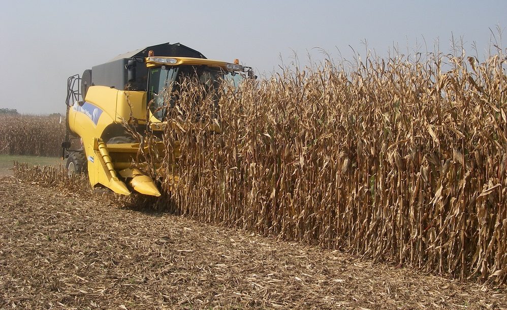
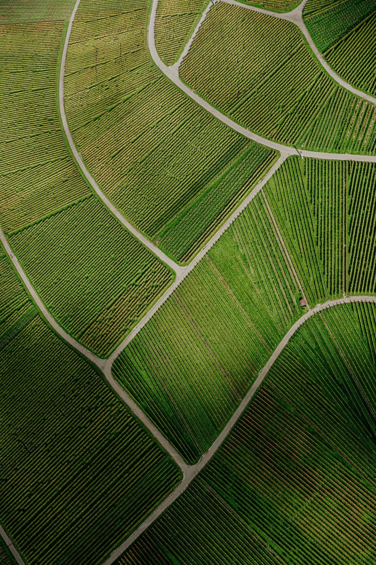
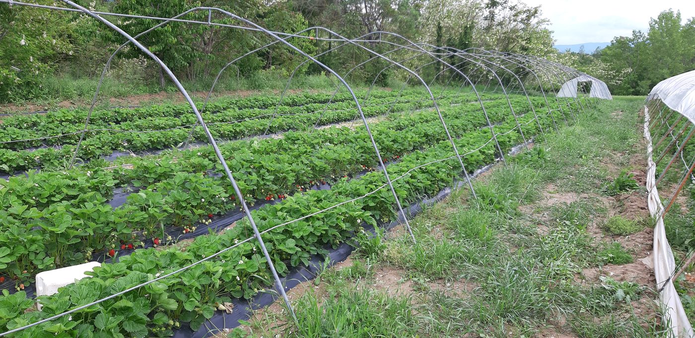
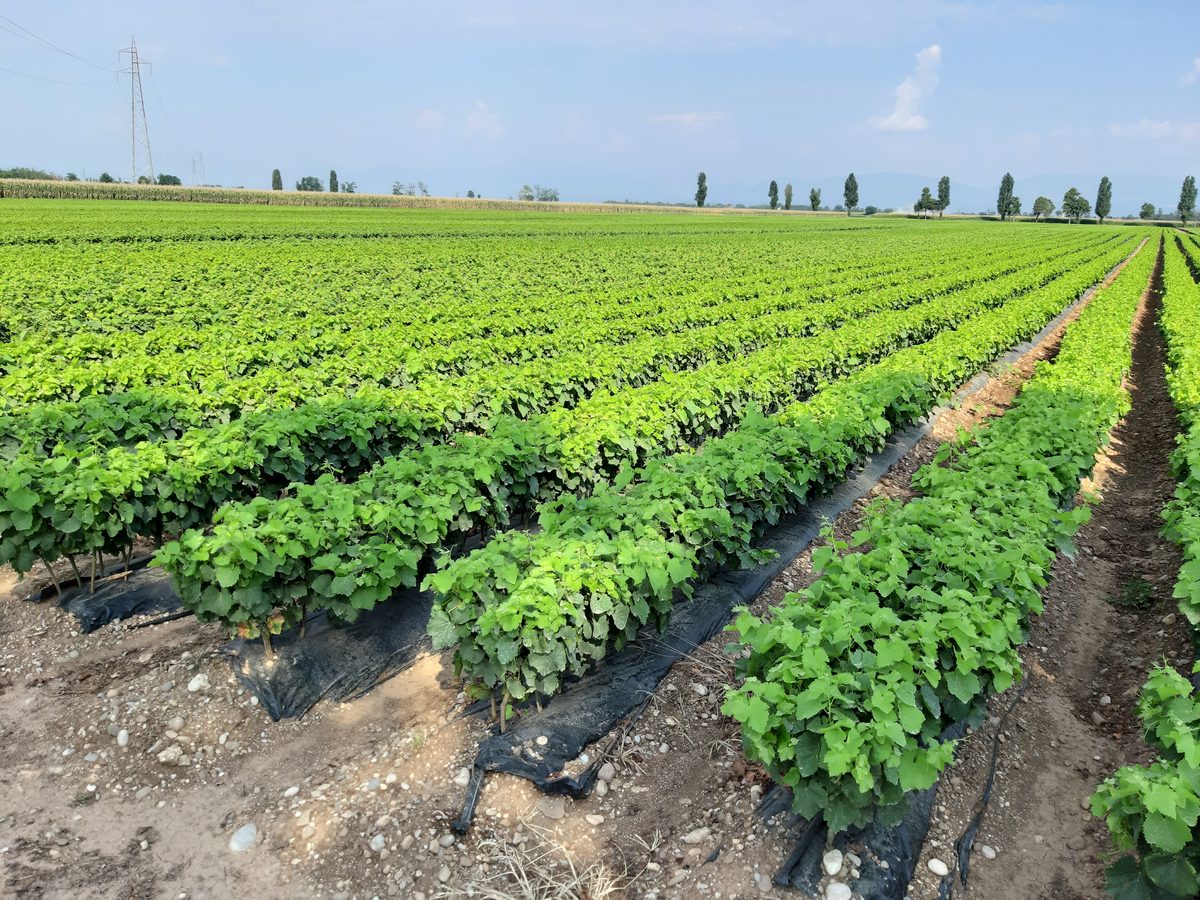
Crop management, production and sustainability for the farm.
Aid applications, paperwork and reporting (2023-2027 programming).
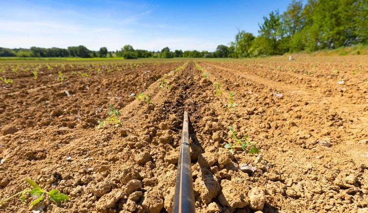
Sampling, interpretation and fertilisation plans.
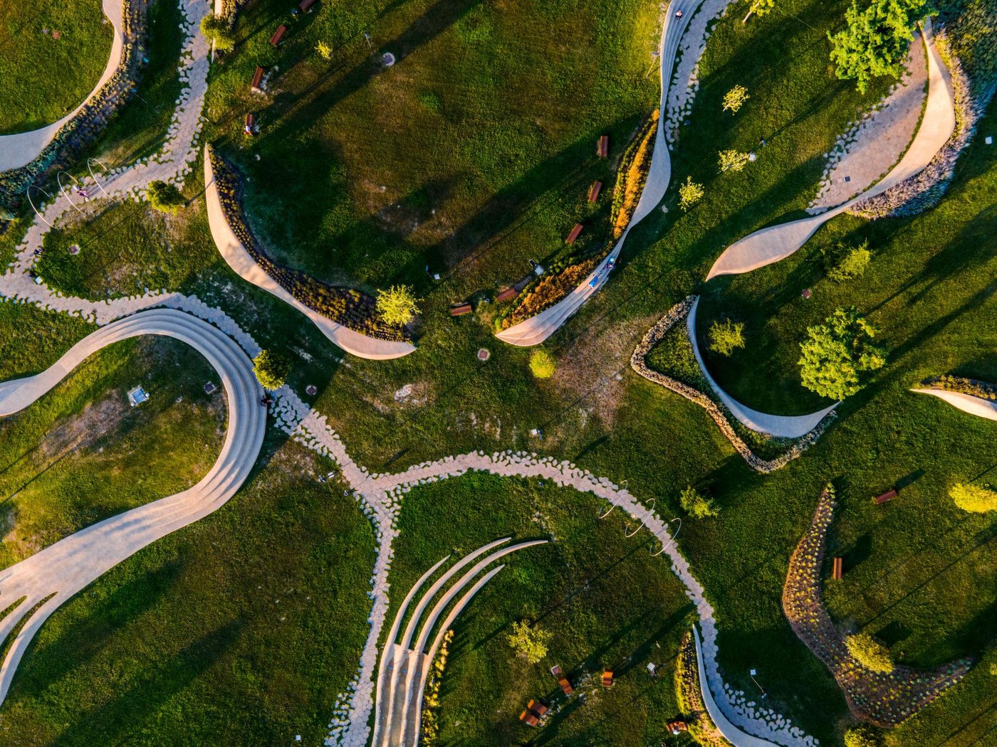
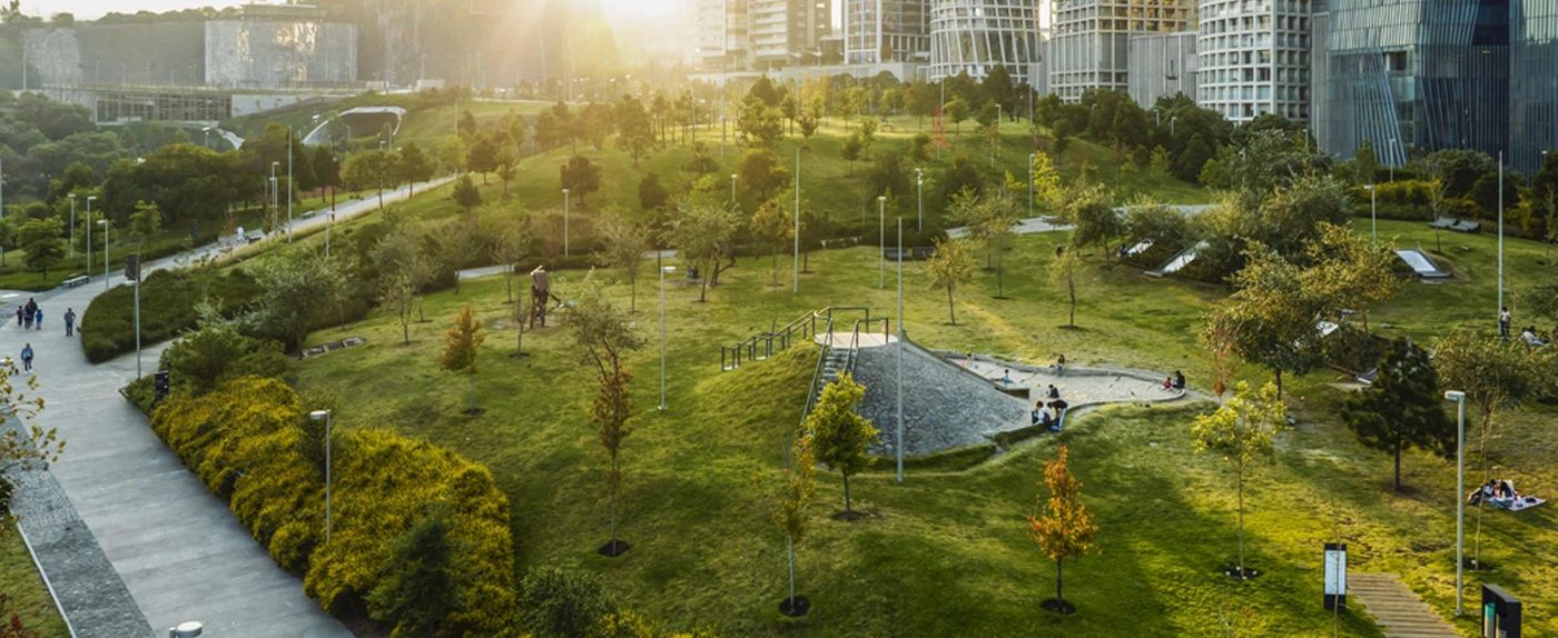
Design, redevelopment and management of green areas.
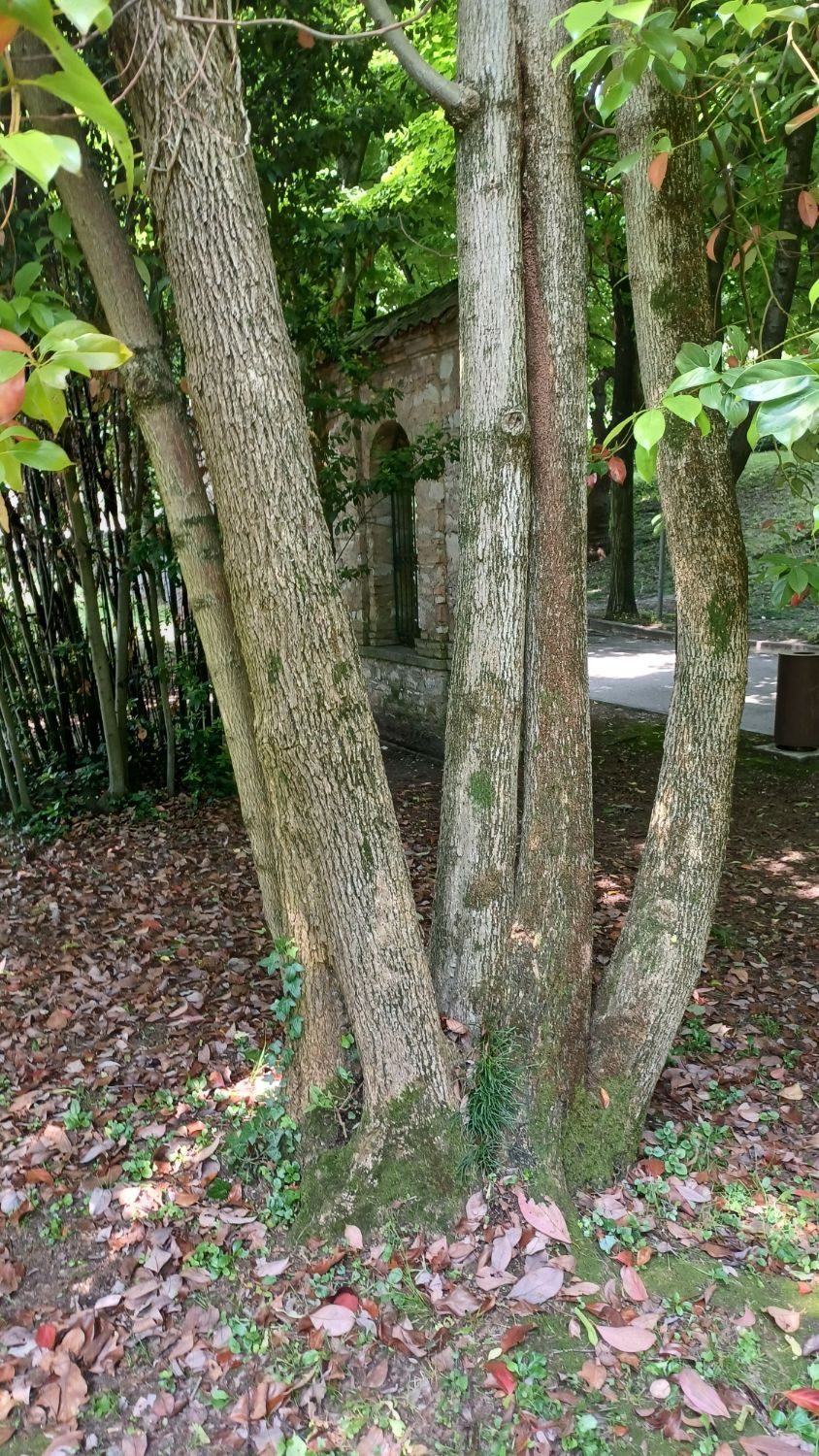
Visual and instrumental (tomography) stability assessment.
Learn more →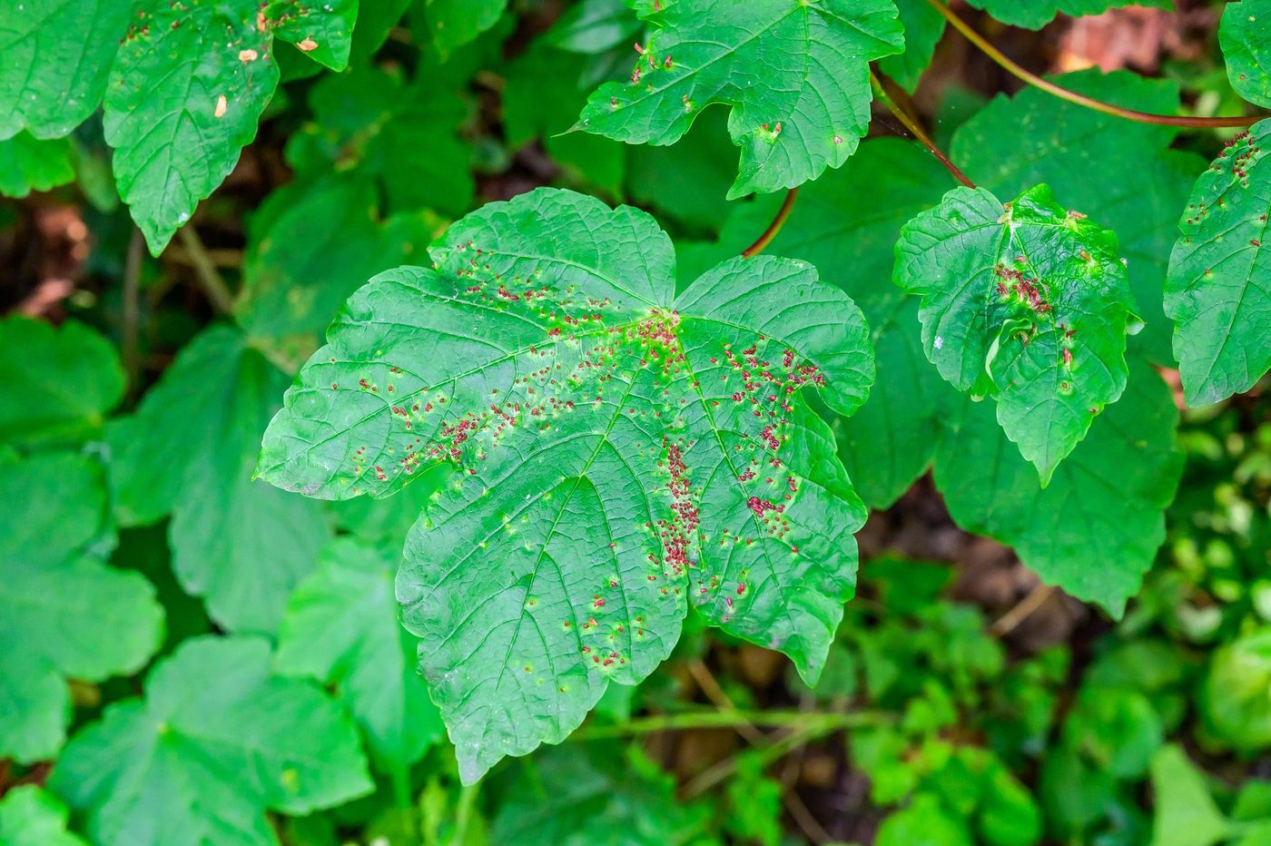
Identification of diseases and integrated or organic control plans.
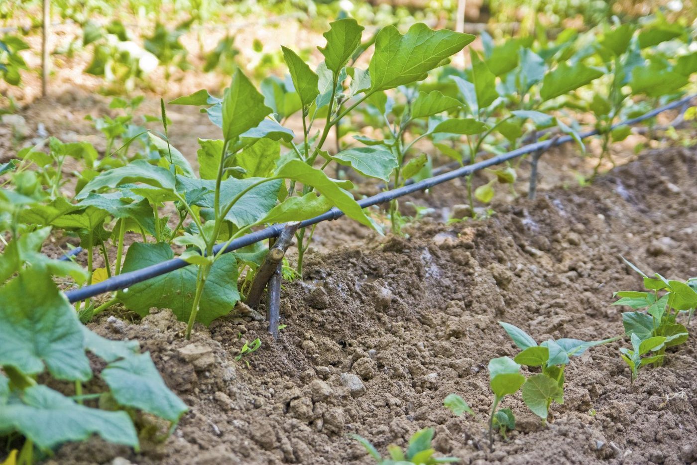
Sizing and design of efficient systems.
Site control and proper execution of green works.
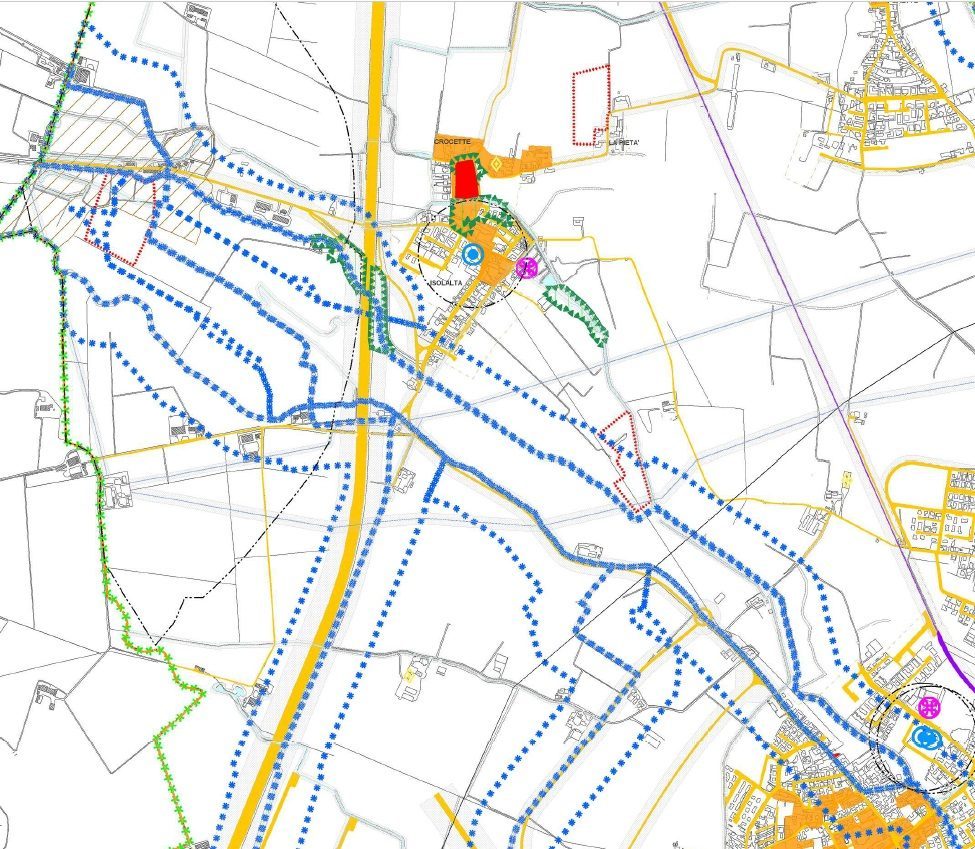
Agronomic component of the PGT and of planning instruments.
Learn more →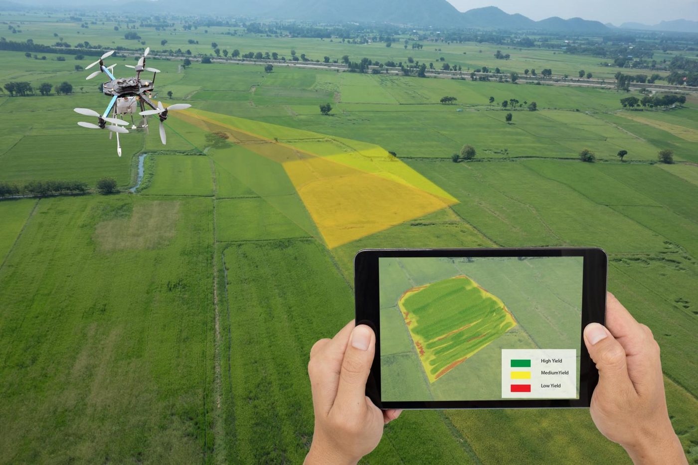
Tree register and geographic databases.
Learn more →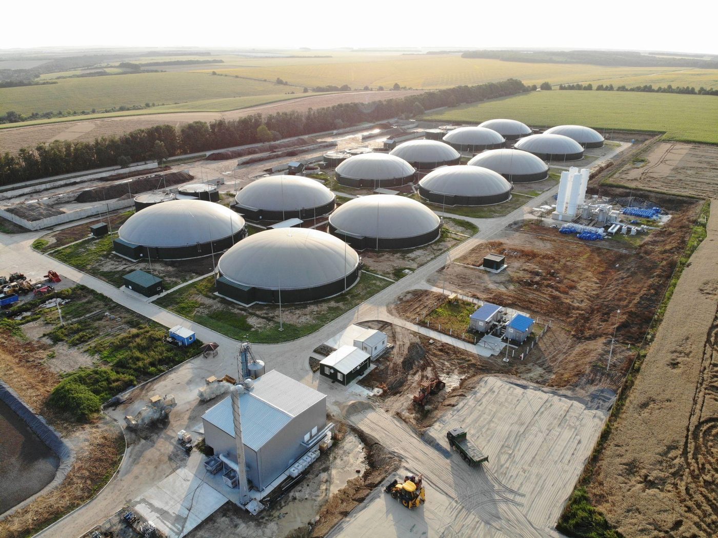
Biogas and biomethane: techno-economic and supply-chain analysis.
Learn more →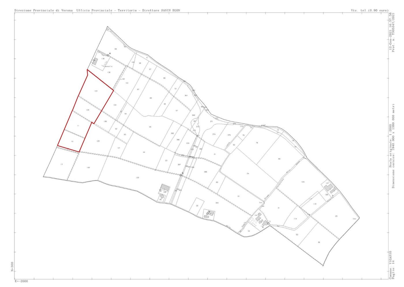
Value of farmland, crops and environmental assets.

Fabio Inverardi is an agronomist, registered with the Order of Agronomists of Brescia (no. 474). He practises with EPAP enrolment, professional liability insurance and in compliance with Italian Presidential Decree 137/2012.
Studio Invé supports farms, public bodies, professionals and private clients in agronomy, urban green, valuation surveys and land analysis.
Studio Invé was founded in 2016 with a clear idea: to put agronomy back at the centre. In a field where improvisation too often prevails, every job starts from a survey, from measured data and from rigorous analysis — not from off-the-shelf solutions.
There are no cheap or expensive solutions, only effective ones: tailored, sustainable and resilient to climate change, built on the real needs of businesses, public bodies, farmers and citizens.
 01
01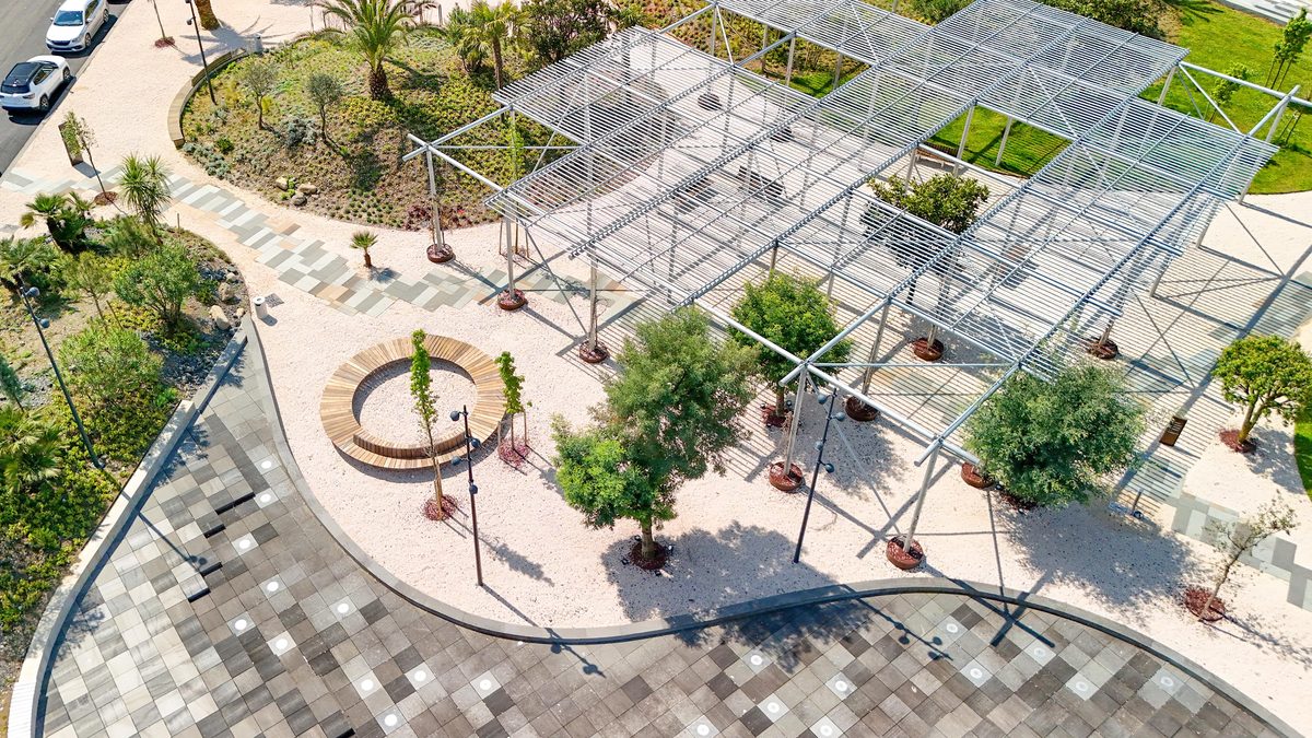 02
02 03
03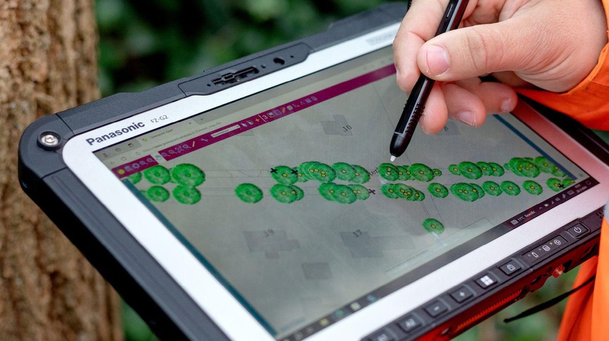 04
04Describe your need: I'll reply within 24 hours with the first steps and an indication of the fee.